River: Potomac
Length of Run: 7.5 miles
Difficulty Level: Intermediate
Acceptable Water Level Range for Canoeing: 2 - 5 feet
Current Water Level Reading: USGS Gauge at Little Falls
Description
Certainly the closest run since it ends at Sycamore Island and a favorite of Sycamore Islanders. What differentiates this run from "feeder" streams further upriver is the sheer amount of water going over the rapids in the broad areas and the force of the turbulence in the narrow gorge area (Mather Gorge) that begins the run. Mather Gorge empties out into broad flat water for the rest of the run except at well-defined rapids points that have long been named: Maryland Chute, Wet Bottom Chute, Yellow Falls and Stubblefield Falls. Depending on water level, some rapids may be Low Level III's. All the real excitement is over by the time you canoe under the American Legion Bridge of the Beltway but the remaining leg to Sycamore Island is beautiful with wildlife and natural river splendor.
Put-In Location
Park at the Great Falls National Park parking lot and carry canoe 1/4 mile downriver on the towpath to Sandy Beach (so named because it IS sandy) or if water level is too low, at the next path branching off the towpath to the right down to the Rocky Point put-in.
Alternative Put-In
Though you miss the exhilaration of running Mather Gorge, putting in at Old Angler's Inn is a shorter alternative for this run. There is plenty of parking, and the canoe carry is easier than at Great Falls, though still a bit longer than some find convenient.
Take-Out Location
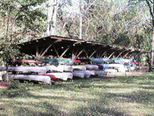
Sycamore Island.